Over 20 years online have taught us something: quotes are needed fast. That's why we deliver a proposal within 1 hour. Use our service forms for best results.
MALÅ® is a registered trademark of MALÅ Geoscience / Guideline Geo AB.
Own a MALA Easy Locator, ProEx or MIRA and need help interpreting your radargrams? At Cartomex, we provide professional processing and interpretation for all MALA Geoscience GPR equipment. Send us your .rd3 files from anywhere in the world and we'll deliver clear, actionable results.
MALA Geoscience (now part of ABEM/Guideline Geo) is recognized worldwide for its HDR (High Dynamic Range) technology and the ruggedness of its equipment. The Easy Locator revolutionized the utility locating industry, and the MIRA system remains a reference for high-resolution prospection. But having the best equipment isn't always enough — if you need an expert to interpret your data, we're here to help.
Real Example: Before and After Processing
Here's how we transform raw MALA data into interpretable information:
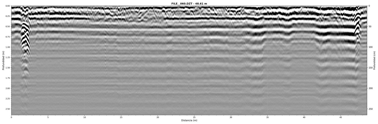
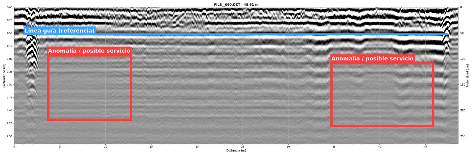
Data acquired with MALA ProEx. Left: unprocessed .rd3 file. Right: processed radargram with geophysical interpretation. © Cartomex.
MALA Systems We Process
| System | Primary Application | Format |
|---|---|---|
| Easy Locator / Easy Locator Pro WideRange HDR | Utility locating | .rd3 / .rd7 |
| Easy Locator Core | Utility detection with integrated AI (MALA AI) | .rd3 / .rd7 |
| ProEx | Professional multi-purpose system, interchangeable antennas | .rd3 / .rd7 |
| CX / CX-II | Compact professional GPR | .rd3 / .rd7 |
| MIRA (Multi-channel array) | High-resolution 3D prospection, archaeology, geotechnics | .rd3 (multi-channel) |
| RAMAC (legacy systems) | Earlier equipment, multiple configurations | .rd3 / .rd7 |
| Ground Explorer (GX) | Portable HDR GPR | .rd3 / .rd7 |
Specialized Processing for MALA Data
MALA equipment with HDR (High Dynamic Range) technology produces data with exceptional dynamic range, meaning more information per trace. This requires processing that knows how to leverage this data richness without losing detail.
HDR Technology
We optimize processing to take advantage of HDR's extra signal: better effective penetration and higher target resolution at depth.
MALA AI as Starting Point
If your Easy Locator Core generated automatic markers with MALA AI, we use them as an initial reference and complement them with expert human interpretation.
High-Resolution MIRA 3D
We process MIRA multi-channel volumes to generate high-resolution depth slices, amplitude maps and complete 3D subsurface images.
Object Mapper Integration
If you've already identified targets in Object Mapper 2.0, we can verify, refine and generate a professional report ready for your client.
Have MALA Data That Needs Processing?
Send us your .rd3 files along with your project context. We'll return a professional report with processed radargrams and complete interpretation.
Planning a new survey? Check our GPR Survey Field Guide.