Geophysical & Surveying Services in Mexico
Professional subsurface investigations and geospatial solutions for engineering projects. 20+ years of experience serving clients across Mexico and Latin America.
Our Services
Comprehensive geophysical and surveying solutions for engineering, construction, and environmental projects.
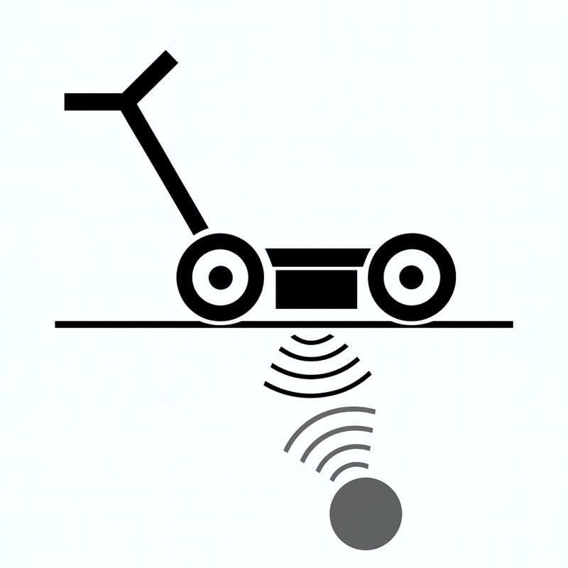
Ground Penetrating Radar (GPR)
Non-invasive subsurface imaging for utility detection, concrete inspection, and geological mapping.
Learn more →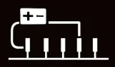
Electrical Resistivity Tomography
2D/3D subsurface mapping for geotechnical investigations, aquifer detection, and environmental studies.
Learn more →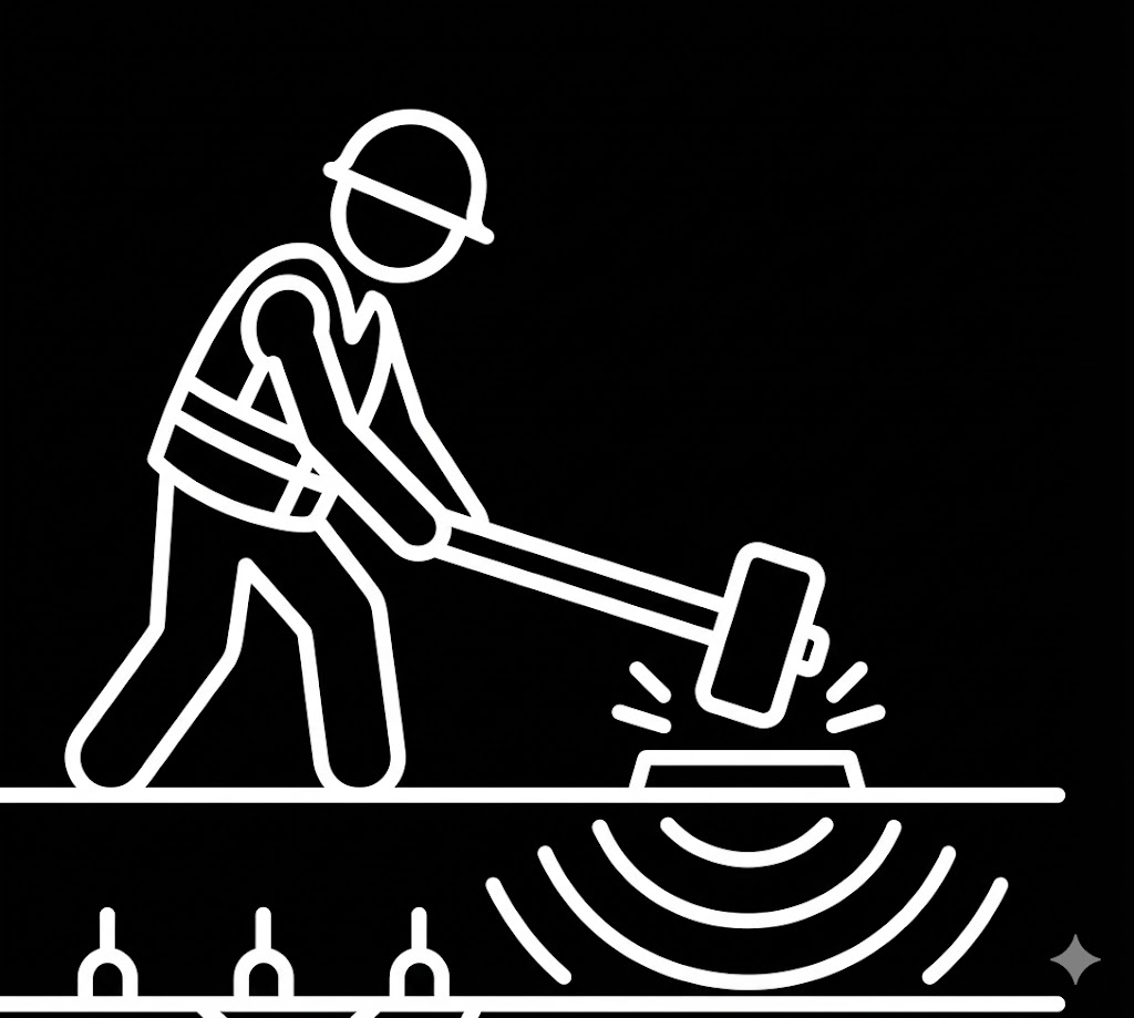
Seismic Refraction
Bedrock depth determination, rippability assessment, and fault detection for engineering projects.
Learn more →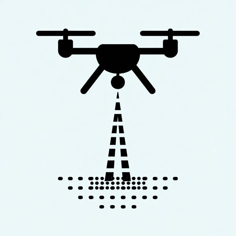
LiDAR Drone Survey
High-precision terrain mapping with vegetation penetration. DTM/DSM generation for engineering design.
Learn more →
3D Laser Scanning
Millimetric precision capture for as-built documentation, BIM modeling, and heritage preservation.
Learn more →Leak Detection
Precise leak location using acoustic, tracer gas, thermal imaging, and GPR methods.
Learn more →Why Choose Cartomex?
Years of Experience
Since 2003, we've delivered thousands of geophysical studies across Mexico and Latin America.
Fast Quotes
We understand urgency. Receive a detailed proposal within 1 hour of your request.
Local Expertise
Mexico-based team with deep knowledge of local geology, regulations, and project requirements.
Authorized Equipment Dealers
We represent leading geophysical equipment manufacturers.
Transient Technologies
Georadar (GPR) UcraniaLanGeo
Prospección Eléctrica RusiaOMEO
Imágenes Satelitales ChinaReady to Start Your Project?
Contact us today for a free consultation and fast quote.